In future planetary exploration missions, teams of robots will need to collaboratively build maps in
unknown environments, from subsurface caves and lava tubes to crater-strewn surface terrains. Such
collaboration enables faster and more robust mapping than a single robot can achieve by sharing
observations and computation across the team. However, this collaboration typically assumes seamless
communication and abundant computing resources, whereas planetary environments impose severe
communication limits, constrained onboard computation, and the absence of any central infrastructure.
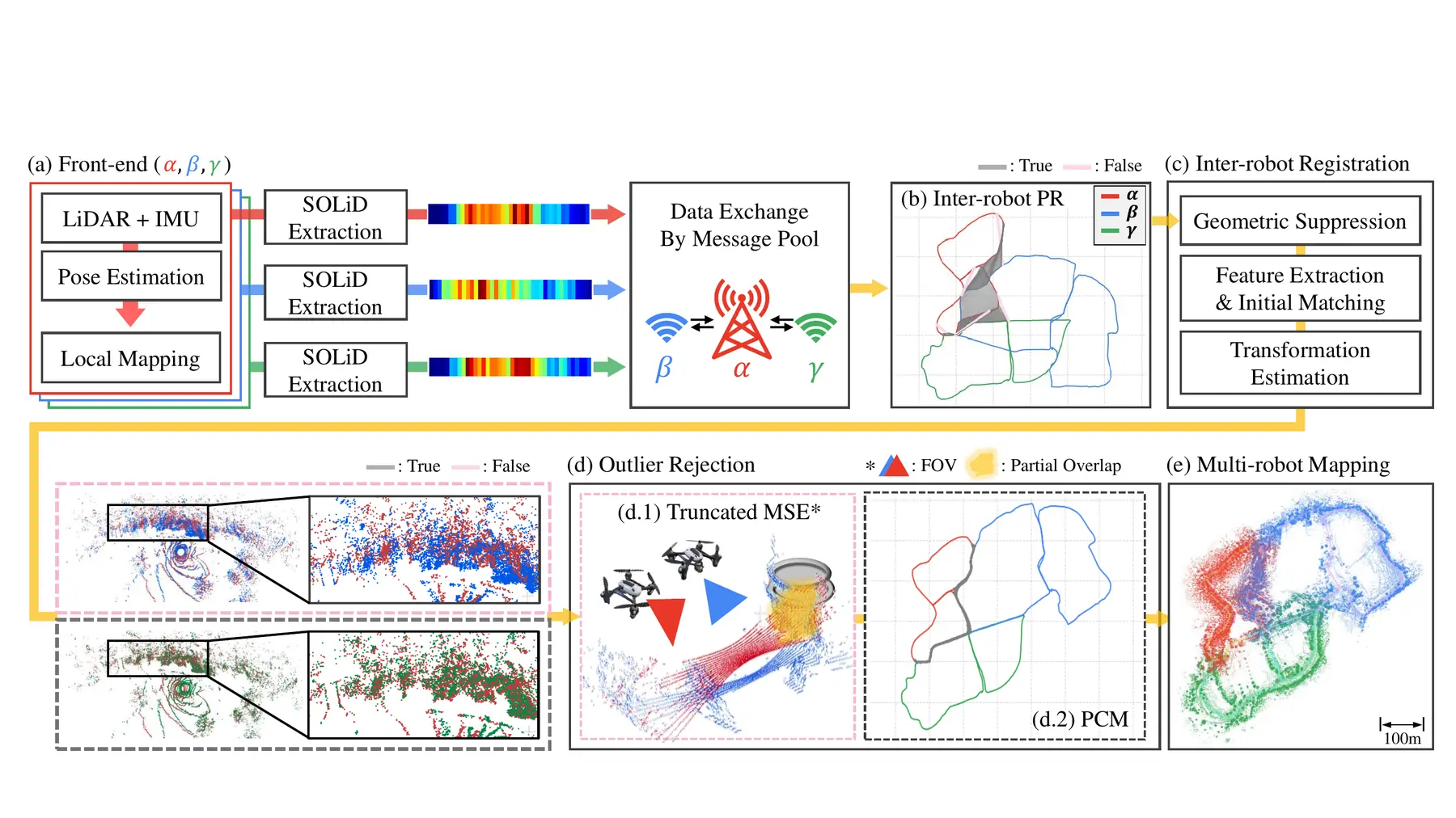
In this field report, we present SKiD-SLAM, a distributed multi-robot LiDAR SLAM system for such
communication-constrained planetary environments, and report its deployment across two representative
mission concepts, i.e. (i) cave exploration and (ii) scientific surface exploration. To build the system,
we survey the communication and computation budgets of actual planetary missions, and select modules that
fit these budgets for each core function of distributed multi-robot LiDAR SLAM. These core functions are
recognizing revisited places across robots' maps, estimating inter-robot relative poses, and fusing
trajectories without a central server.
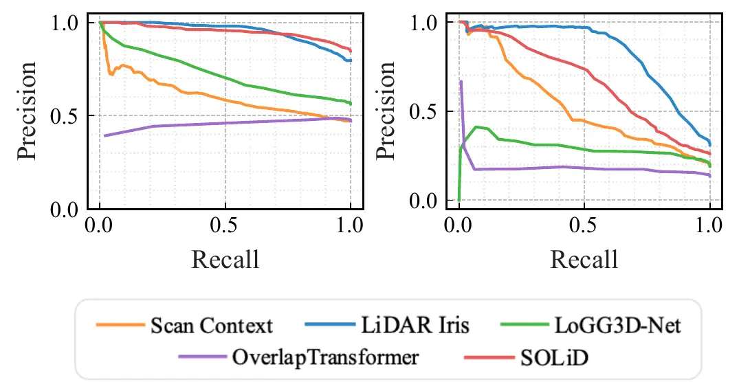
Before field deployment, we verify the assembled system on public datasets that resemble planetary
environments and in a simulator built on NASA JPL's Open Source Rover. We then validate our SKiD-SLAM in
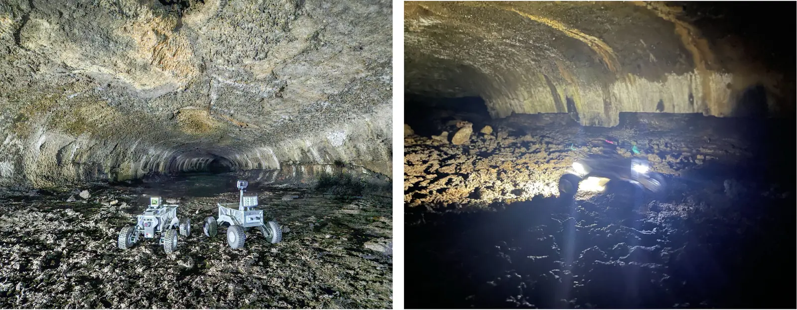
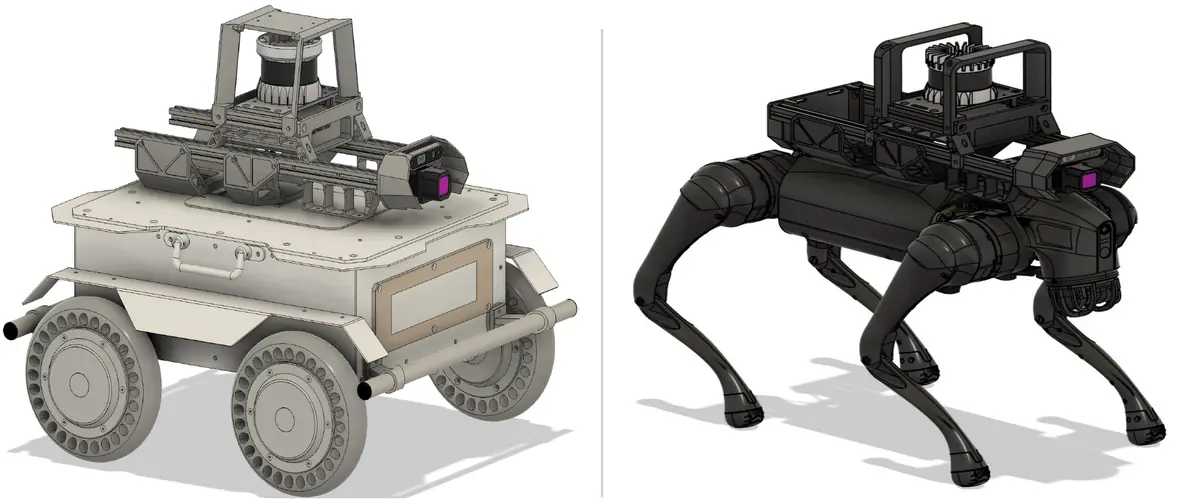
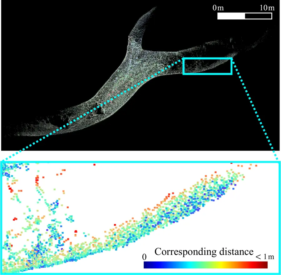
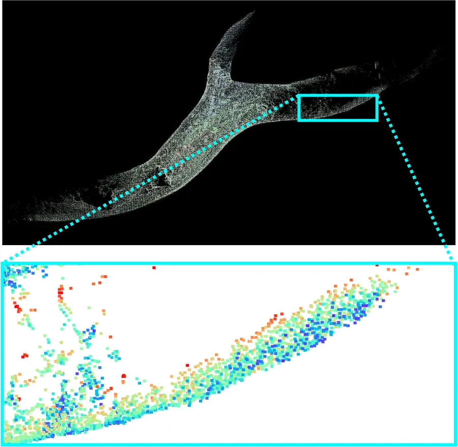
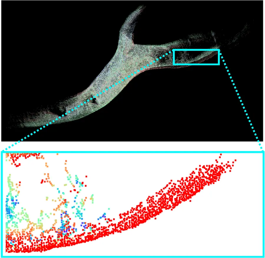
both mission concepts through field deployments in South Korea, where (i) a team of wheeled rovers explores
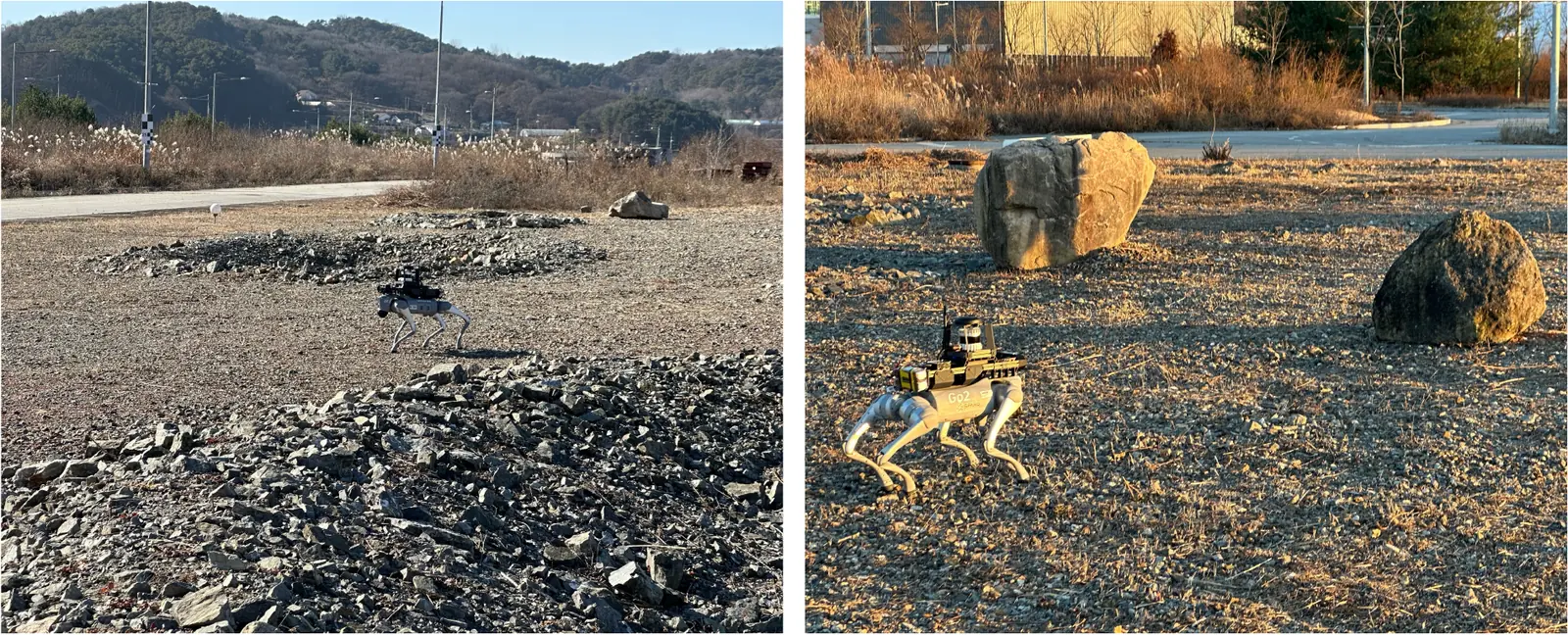
the Majang lava-tube cave on Jeju Island, and (ii) quadruped robots carry out a crater-and-rock science
scenario on a planetary analog terrain at the Korea Institute of Civil Engineering and Building Technology
(KICT) in Yeoncheon. Across both deployments, our SKiD-SLAM reliably performed distributed multi-robot
LiDAR SLAM within the 250 kbps inter-robot communication budget, demonstrating its feasibility under
challenging field conditions.